DJI
Mavic 3M
Precision Multispectral Intelligence for Modern Agriculture
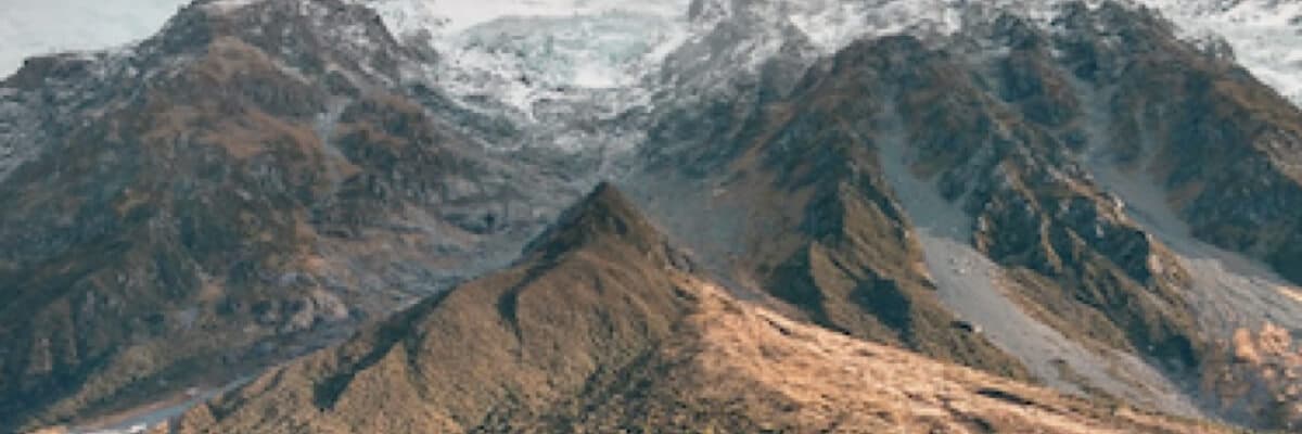
Agriculture Seen from Above — in Full Spectrum
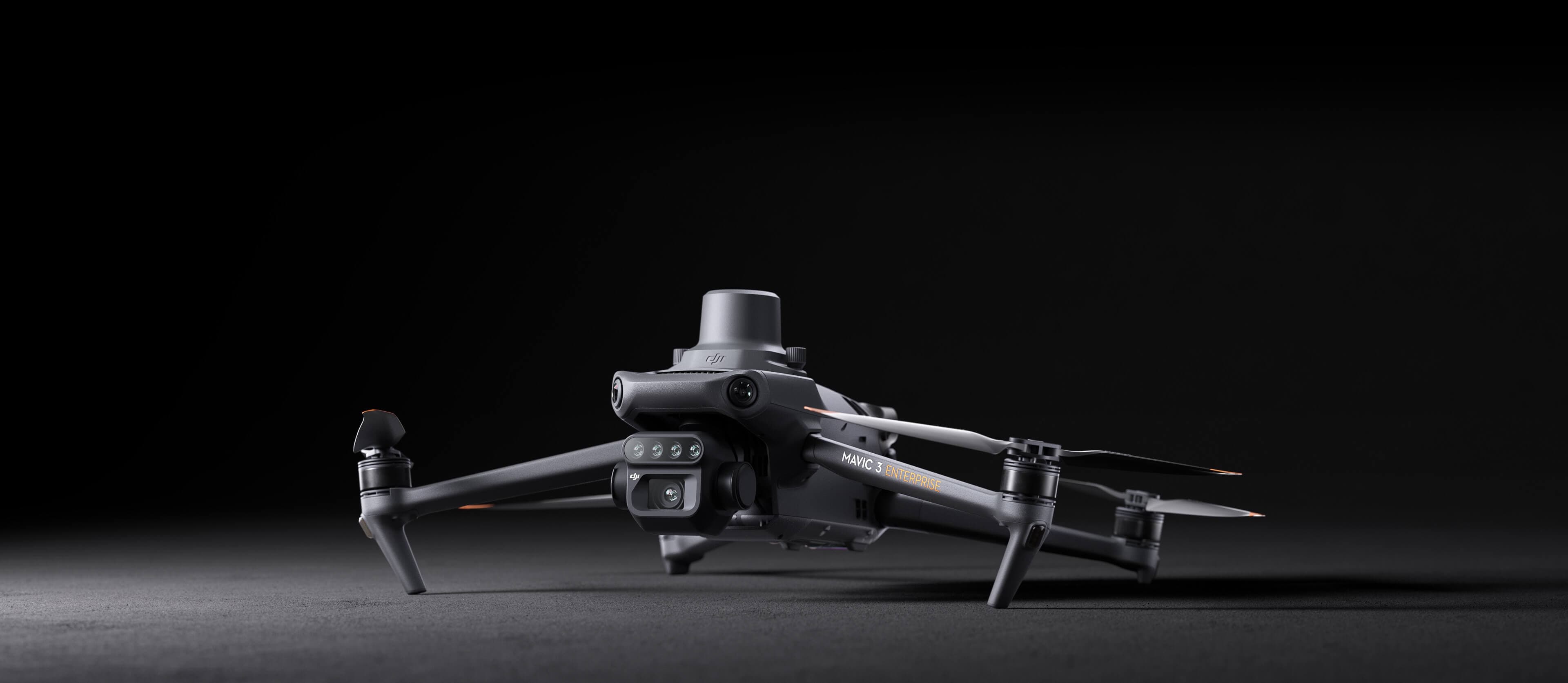
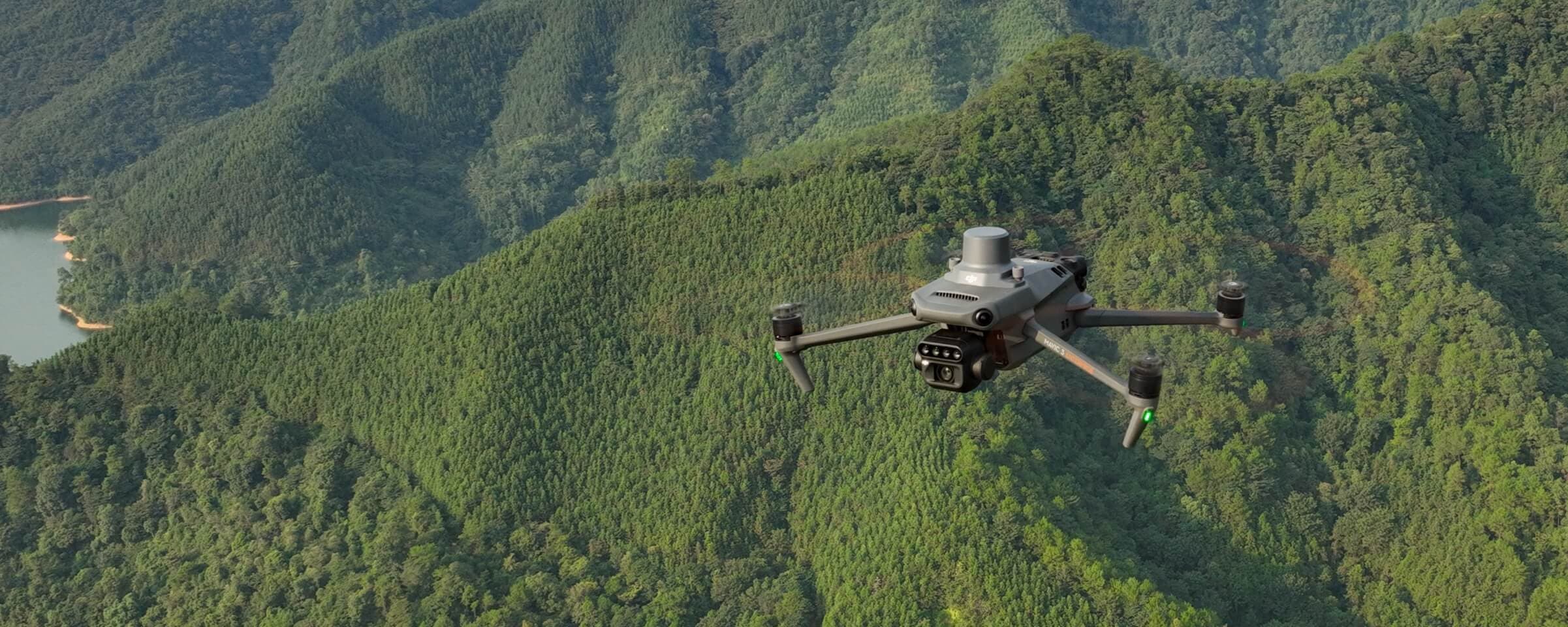
The DJI Mavic 3M is AgroFormula's primary aerial scanning platform. Inside its compact frame — a dual camera system that translates a field's biological reality into precise, actionable data. One flight. Complete agronomic intelligence.
RGB + Multispectral — One Platform
20 MP RGB Camera
Photogrammetric-grade visual field mapping. A 4/3 CMOS sensor with a mechanical global shutter produces sharp, geo-referenced imagery for 3D models and orthomosaics.
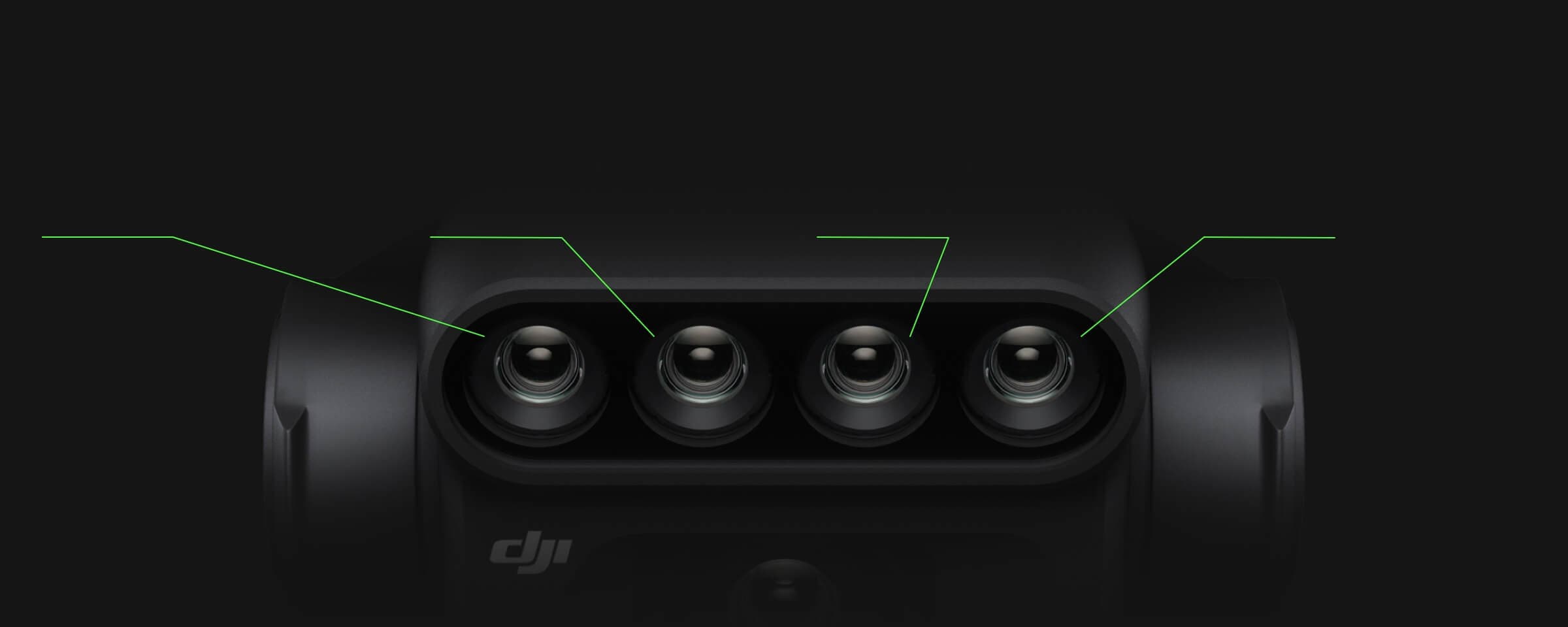
4 × 5 MP Multispectral
Simultaneous G/R/RE/NIR capture. NDVI, NDRE, GNDVI — plant health expressed as data, revealing what the human eye cannot see.

4 Spectral Channels
G · R · RE · NIR — four objective data streams per flight
20 MP Sony CMOS sensor for high-resolution RGB aerial imagery.
Green
Canopy biomass and general vegetation analysis
Red
Chlorophyll absorption and photosynthetic activity
Red Edge
Early-stage plant stress, chlorophyll concentration
Near IR
NDVI, leaf area index, canopy health assessment
Centimeter-Level Accuracy
The built-in RTK system assigns precise geographic coordinates to every frame — with microsecond-level synchronization between RGB and multispectral sensors. Repeatable, reliable data across seasons.
One Flight. 200 Hectares.
Compact and foldable — fast deployment, optimal logistics. A single operational cycle covers up to 200 hectares of agricultural land.
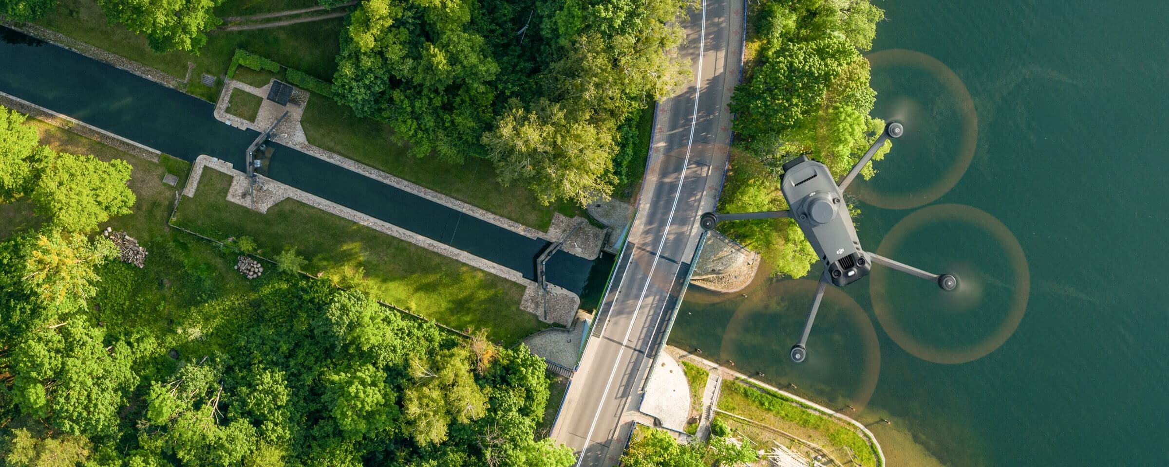
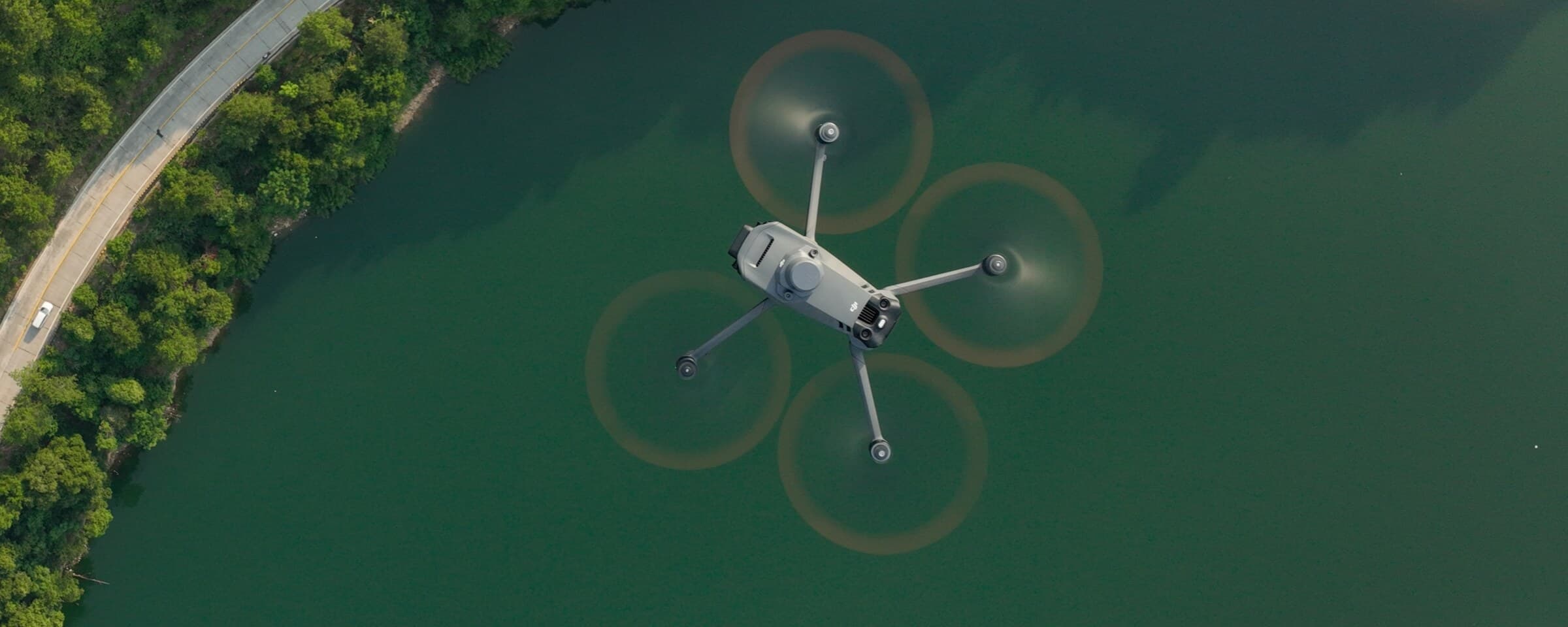
Omnidirectional Obstacle Sensing
Sensors distributed across all directions — stable, safe flight over any agricultural terrain.
Forward obstacle sensing for safe flight in complex terrain.
APAS 5.0
Forward, backward, lateral, downward — 6-direction obstacle sensing for safe autonomy.
From Scan to Decision
DJI Mavic 3M within the full AgroFormula service workflow
Area Assessment
Crop type, location, area, and specific task defined.
Flight Planning
Optimized route, altitude, and overlap parameters.
Aerial Survey
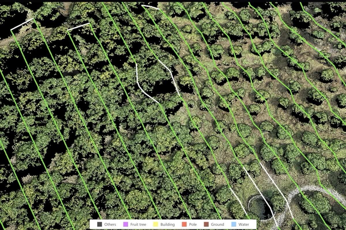
Automated RGB + multispectral data collection.
Data Processing
NDVI, NDRE, GNDVI index computation, orthomosaic.
Agronomic Interpretation
Problem zone identification, crop condition analysis.
PDF Report + Recommendations
Full report with photos, indices, map, and actionable recommendations.
Technical Specifications
Camera
Positioning
Field Survey
Safety
Transmission
The DJI Mavic 3M is used for scanning and monitoring — it does not spray crops. AgroFormula drone scanning is always paired with an on-site agronomist review.
Request an AgroFormula Consultation
About DJI Mavic 3M drone scanning and multispectral field analysis